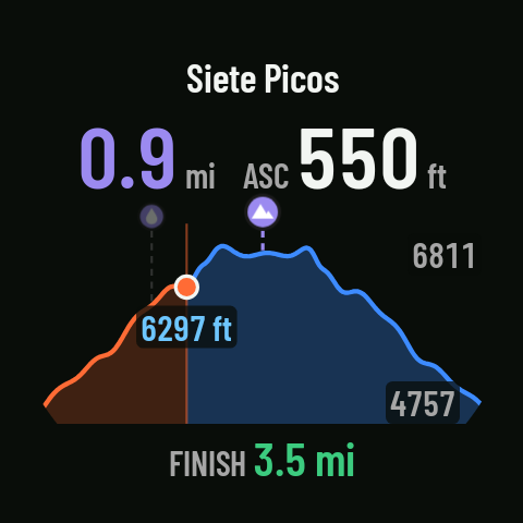
Route elevation profile
With a route, one page shows the route’s elevation profile, with your position and what’s left to the next waypoint or to the finish.
What it shows
- The route’s profile around your position, with a dot where you are.
- In large type, the distance and the ascent to the next waypoint in the GPX or, if there are none left, to the FINISH (with its checkered flag).
- “ASC 0 m” on the flat; “No elevation data” if the GPX has no altitudes.
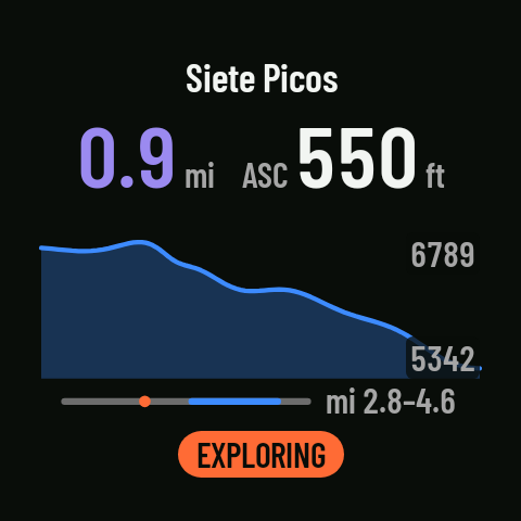
Exploring
- The crown changes the zoom: 2, 5, 10, 20 or 50 km (those that fit the route), or the whole route (5 km to start with; on a short route, the whole route).
- One tap switches to EXPLORING: drag the profile with your finger to see what’s coming up.
- Another tap, or 10 seconds without touching it, goes back to following your position.
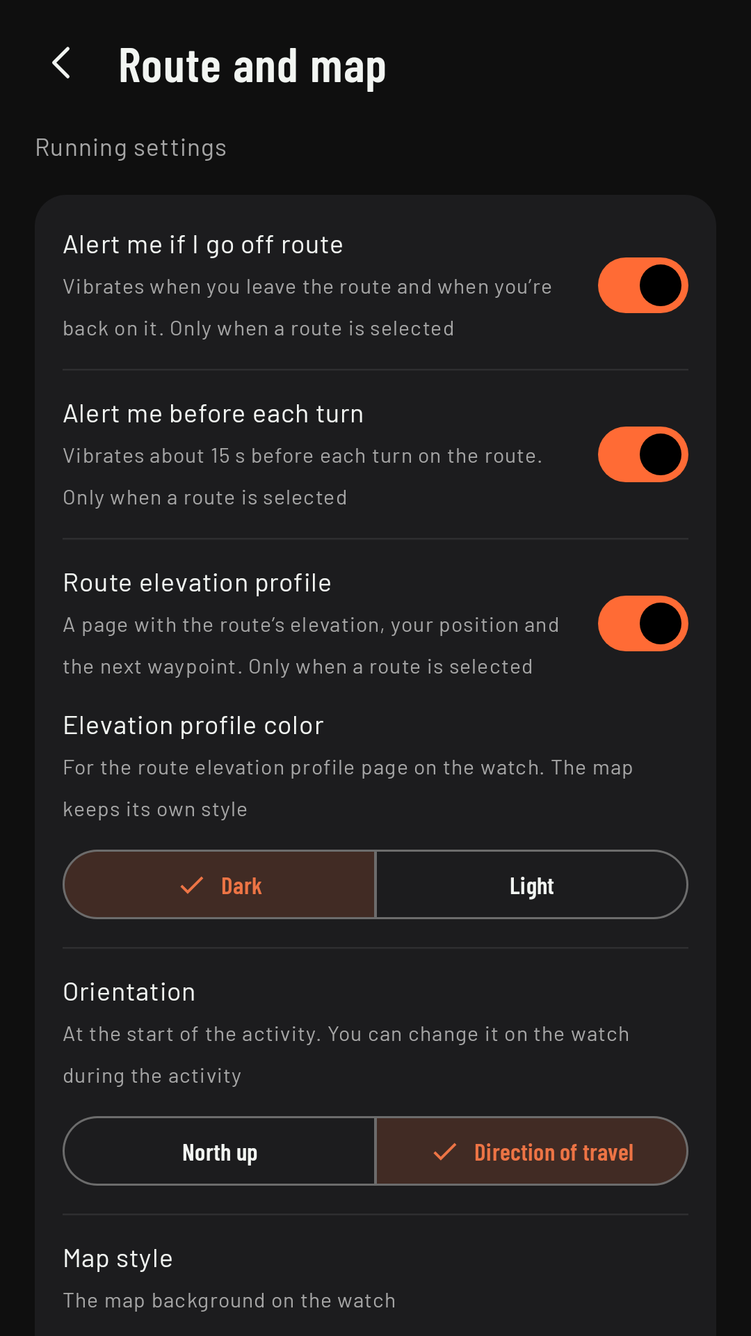
Settings
In Route and map: Route elevation profile (on by default; if you turn it off, the page doesn’t appear) and Elevation profile color (Dark, the factory setting, or Light).